FIRST ALERT | Comfortable fall-like air expected the next several days
PANAMA CITY, Fla. (WJHG/WECP) - Good Wednesday evening everyone!
TONIGHT: Skies will be mostly clear heading into the overnight with comfortable temperatures into the low 70s. Some patchy fog may be possible though into the overnight and start of Thursday.
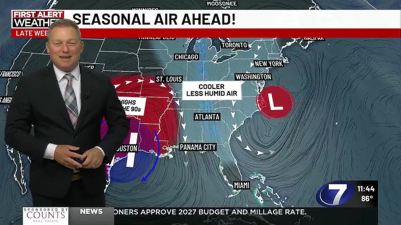
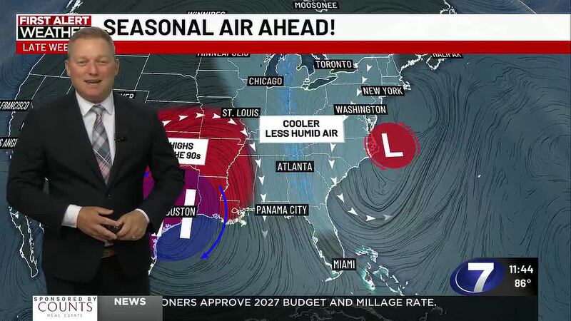
TOMORROW: As our cold front slides through our area it brings gorgeous and fall like weather to the area. Highs on Thursday are only in the mid 80s with full sunshine and a slight breeze.
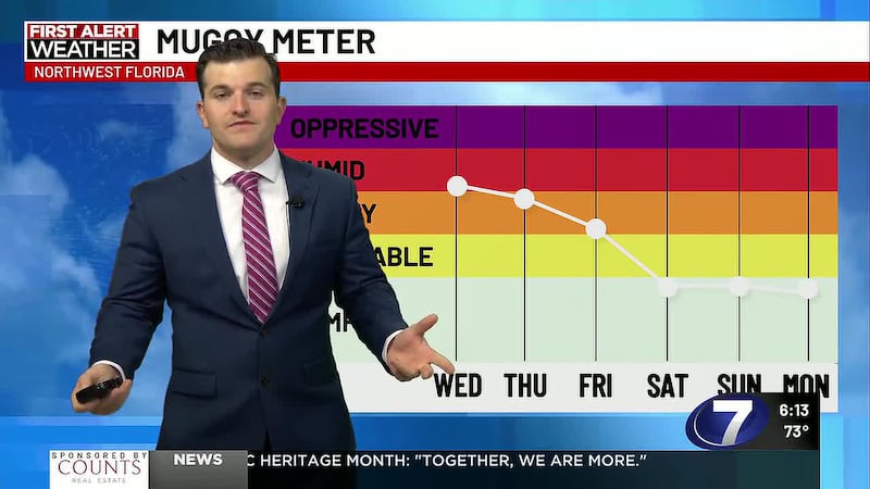
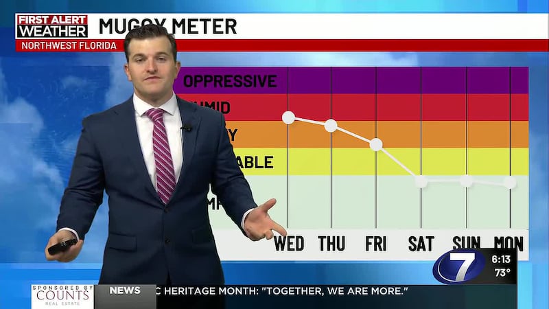
LOOKING AHEAD: Friday - Sunday is going to be about as perfect of a 3-day stretch we could ask for with overnight lows in the cool low to mid 60s, highs in the low to mid 80s, very low humidity and full sunshine. If you don’t have any outdoor plans during this time, make them now!! Humidity will start to increase a bit early next week as temperatures come back up into the upper 80s to near 90 and that will bring back a stray thunderstorm chance.
To stay up to date on all the latest news as it develops, follow WJHG on Facebook, Instagram and X (Twitter).
Have a news tip or see an error that needs correction? Email news@wjhg.com. Please include the article’s headline in your message.
Keep up with all the biggest headlines on the WJHG News app, and check out what’s happening outside using the WJHG Weather app.
Copyright 2026 WJHG. All rights reserved.