Sunshine warms our afternoons after chilly mornings persist
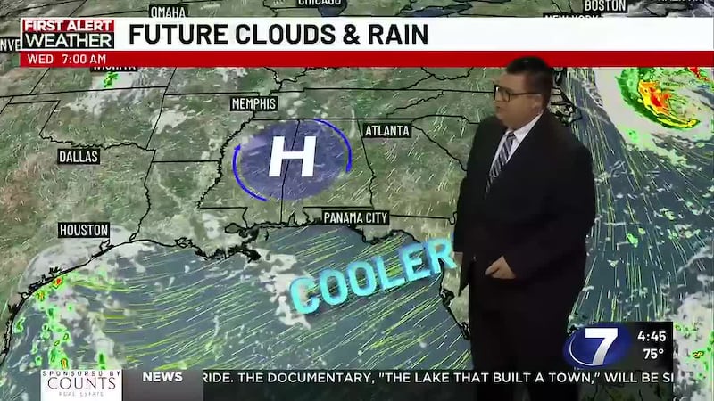
PANAMA CITY, Fla. (WJHG/WECP) - Good Tuesday afternoon everyone! Our beautiful streak of fall weather continues, and you may notice a slightly warmer feel in the afternoons ahead.
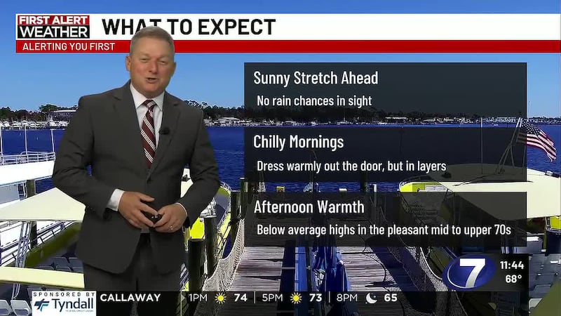
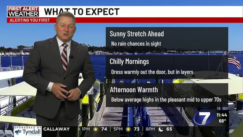
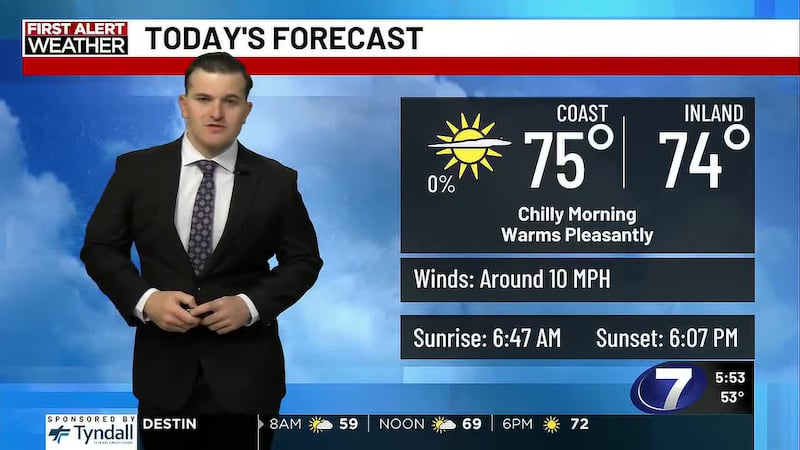
REST OF TODAY: Sunny skies with mild highs in the mid 70s. You’ll be able to shed the extra layer from the morning by lunch but keep it handy for any plans after sunset. Winds today remain out of the northeast at 5-10mph occasionally up to 15.
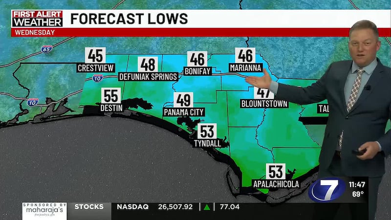
TONIGHT: Expect it to cool off pretty quickly through sunset with a similar feel to last night. Temperatures fall through the 60s through dinner. Overnight lows reach the low to mid 50s on the coast to the beaches, respectively, and all the way down to the mid 40s inland! We’ll want to dress warmly for any evening plans and especially as you head out the door around sunrise.
MIDWEEK: Light northeast winds continue to keep a fall feel around with chilly mornings but warmer afternoons under mainly sunny skies. Morning lows remain in the mid to upper 40s inland to low to mid 50s on the coast through about Thursday. Afternoon highs reach the upper 70s most days, some may touch off 80° briefly around 3 or 4pm.
LATE WEEK & WEEKEND: Our chillier than average mornings continue but come up into the low to mid 50s by Friday and through the weekend. Sunshine remains persistent and highs warm into the upper 70s Friday before coming down to the mid 70s over the weekend. It’s possible for some breezy winds to return heading into the weekend.
To stay up to date on all the latest news as it develops, follow WJHG on Facebook, Instagram and X (Twitter).
Have a news tip or see an error that needs correction? Email news@wjhg.com. Please include the article’s headline in your message.
Keep up with all the biggest headlines on the WJHG News app, and check out what’s happening outside using the WJHG Weather app.
Copyright 2026 WJHG. All rights reserved.