FIRST ALERT| Fall-like weather arrives jsut in time for the weekend
PANAMA CITY, Fla. (WJHG/WECP) -
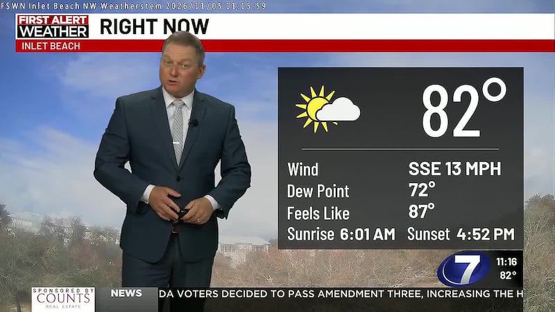
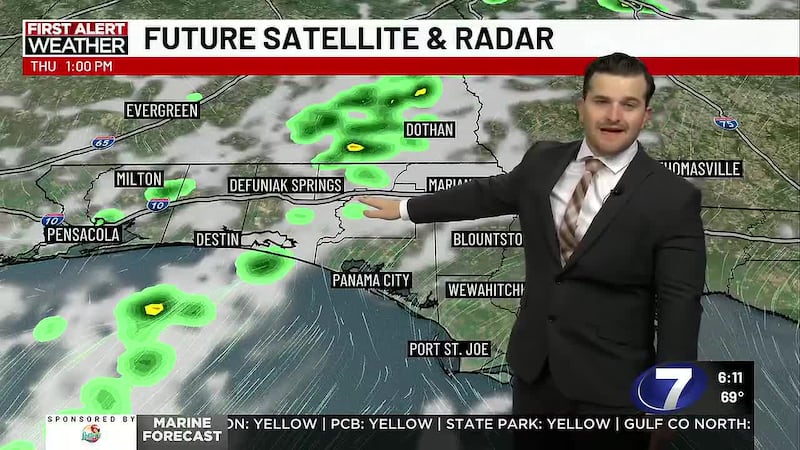
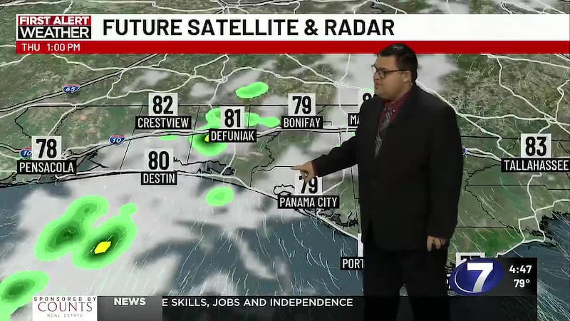
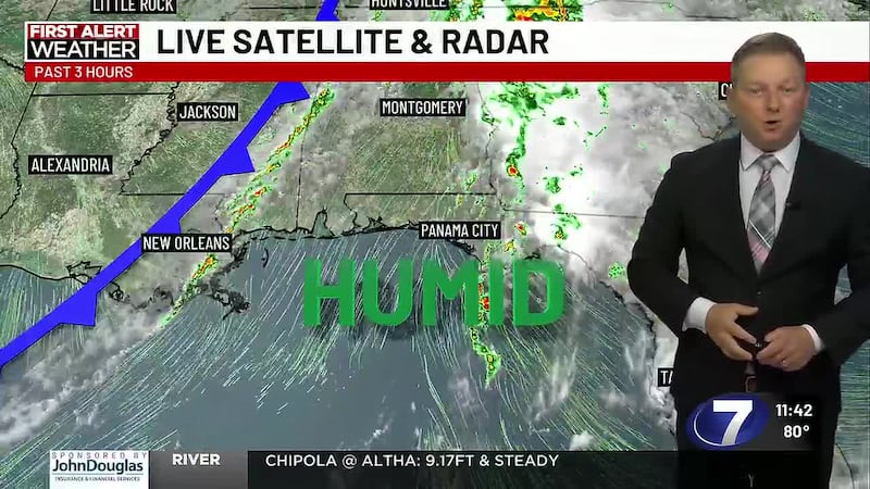
TODAY: Our morning started with light shower activity and dense fog, but clearer conditions arrive by this afternoon with highs reaching the low 80s. A second cold front moves through later tonight, bringing more cloud cover for later this afternoon.
TONIGHT: Clouds return later this evening with clearing taking place later into the overnight hours. Overnight lows will be a bit cooler than what we’ve been seeing the past week, with lows into the low to mid- 50s.
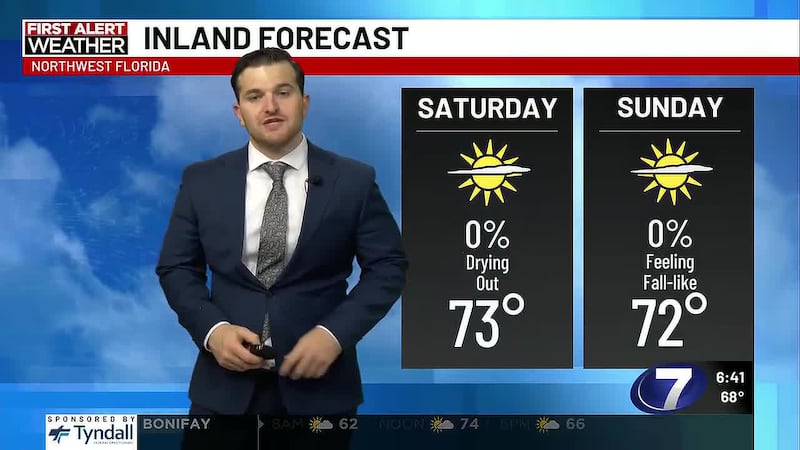
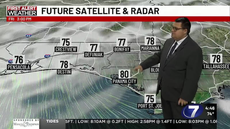
LOOKING AHEAD: The cold front that provided the unsettled morning moves through the Panhandle today, with another frontal boundary behind it. Once the front passes, northerly winds funnel in dry air, cooling us off into the 70s for this upcoming weekend. Rain chances fall off, with a dry stretch expected to last into next week. Overnight lows the rest of the week range from the low to upper 40s.
To stay up to date on all the latest news as it develops, follow WJHG on Facebook, Instagram and X (Twitter).
Have a news tip or see an error that needs correction? Email news@wjhg.com. Please include the article’s headline in your message.
Keep up with all the biggest headlines on the WJHG News app, and check out what’s happening outside using the WJHG Weather app.
Copyright 2026 WJHG. All rights reserved.