FIRST ALERT | Cool night tonight with a warm day tomorrow, and a change on the horizon
PANAMA CITY, Fla. (WJHG/WECP) - TONIGHT: In for another fall-like evening with temperatures falling to the 40s for another night. Winds will be light and out of the north. A few clouds overhead and partly clear skies. Lows will be in the mid 40s inland, upper 40s by the coast.
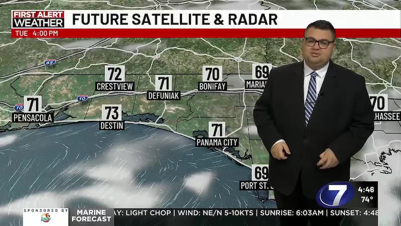
TOMORROW: We’ll be starting out the workweek with a crisp chill, so anyone heading out early Monday morning, bring an extra layer to keep yourself warm. Although we start out cooler, we’ll be warming up quickly through the morning, reaching the 70s by the late morning, upper 70s in the afternoon. Over the weekend, we were able to feel toasty in the sun, but temperatures for Monday & Tuesday will be higher, so it’ll be warmer & even hot. Low humidity will keep the feels-like tolerable.
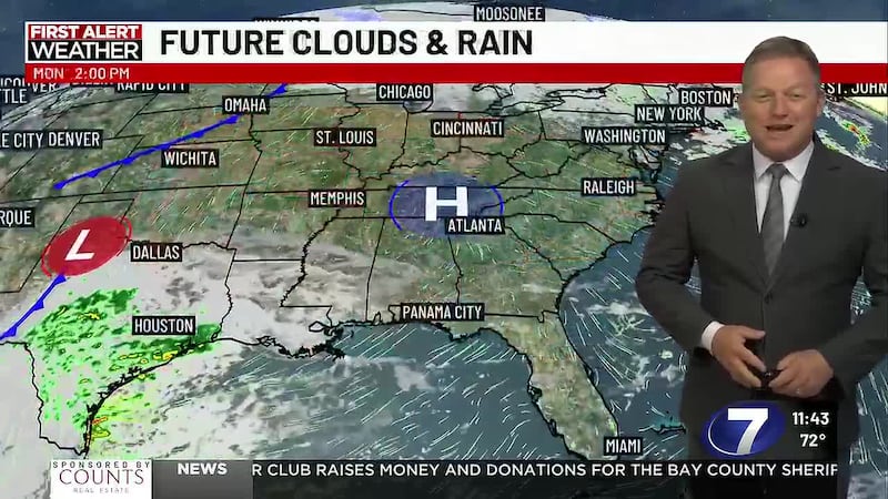
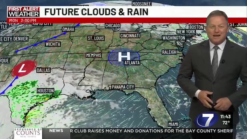
WEEK AHEAD: High pressure to our northwest will dominate the forecast, suppressing rain chances, keeping winds out of the north, allowing for the cool and dry air to stay over the Panhandle. Mid to late week, another front will be moving through, bringing temperatures substantially lower. We’re in for the first chance to see the upper 30s for inland lows. A low rain chance ahead of the front, however, cloudy skies will precede the front. Highs could be in the mid 60s next weekend.
To stay up to date on all the latest news as it develops, follow WJHG on Facebook, Instagram and X (Twitter).
Have a news tip or see an error that needs correction? Email news@wjhg.com. Please include the article’s headline in your message.
Keep up with all the biggest headlines on the WJHG News app, and check out what’s happening outside using the WJHG Weather app.
Copyright 2026 WJHG. All rights reserved.