FIRST ALERT | Stunning conditions get a few degrees knocked off its forecast over the weekend
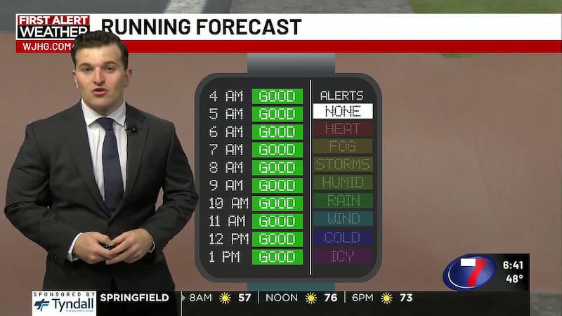
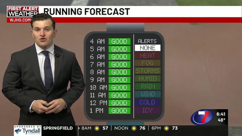
PANAMA CITY, Fla. (WJHG/WECP) - TONIGHT: Clear skies into tonight with sunset at 6:04pm tonight. Temperatures will drop quickly, with most of our Thursday evening spent in the 60s before dropping to the low to mid 50s before dawn. NE wind will keep the humidity away for the next few days, although any easterly flow will cause a few clouds to develop. Bring a light jacket with any Thursday night plans, and the hairspray forecast falls to unnecessary.
TOMORROW: Waking up to temperatures in the 50s, it’s a cooler morning for all, but the kind of day in which you’re wearing cold weather clothes to start, then shedding them off when the temperatures heat up to near 80°. Winds will continue to keep the Gulf moisture at bay (or gulf), with 5-10mph winds out of the NE. Sunny, clear, and blue skies without a rain cloud in sight.
WEEKEND & BEYOND: We’ll continue with these drier and cooler temps over the weekend with low pressure off the east coast of Florida and high pressure to our north aiding in northeasterly winds picking up in speed, creating breezier conditions and ushering in cooler air to the Florida Gulf Coast. Winds out of the NE 10-15mph with gusts up to 25mph - not like last weekend’s winds, but enough to notice and blow some debris around. For our weekend, we’ll be accompanied by sunny skies, cold mornings, warm, breezy & gusty days, moderate-to-high rip current risk, and the Gulf water temperature at 73°.
Note:
These gusty and dry conditions pose a slight fire risk for our inland areas.
To stay up to date on all the latest news as it develops, follow WJHG on Facebook, Instagram and X (Twitter).
Have a news tip or see an error that needs correction? Email news@wjhg.com. Please include the article’s headline in your message.
Keep up with all the biggest headlines on the WJHG News app, and check out what’s happening outside using the WJHG Weather app.
Copyright 2026 WJHG. All rights reserved.