FIRST ALERT | In for another perfect Florida Fall Day, but watch for these risks
PANAMA CITY, Fla. (WJHG/WECP) - Low humidity and gusty winds still pose a fire risk continued throughout the weekend. Small Craft Advisory until Monday evening for smaller boats, kayaks, paddleboards as seas will have waves up to 9ft and winds near Gale force.
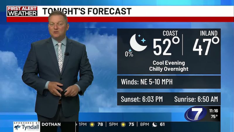
Heading into our Saturday night, temperatures will fall through the 60s, reaching 58° by the coast by dawn. Clear skies and winds out of the north keep it feeling chilly!
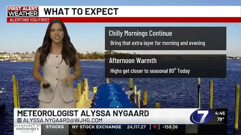
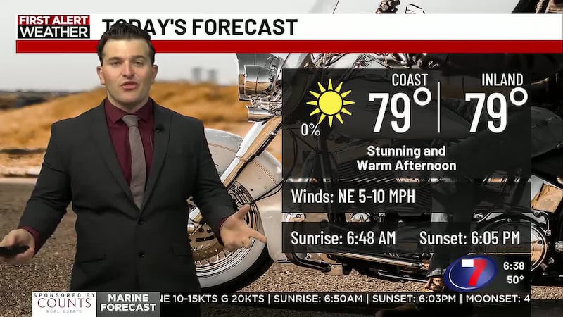
Waking up tomorrow, a slight warmer and mild morning, and temperatures will quickly warm to near 80° in the afternoon. Winds will increase Sunday as the high pressure to our north and low pressure to our east move closer together, strengthening the winds out of the north, ushering in slightly cooler temperatures and dry air.
What could give us some rain or added humidity is this trough off the east coast of Florida currently aiding in these breezy conditions. This trough could bring in moisture for out northeastern areas for some added humidity and a slight chance for rain later this week.
For the upcoming week, highs will slowly warm, reaching the 80s by midweek. For Halloween, we’re looking at a warmer-than-average fall day, a little more humidity, but a clear night expected. One model shows a very slight risk for rain Saturday evening, but certainty is low.
To stay up to date on all the latest news as it develops, follow WJHG on Facebook, Instagram and X (Twitter).
Have a news tip or see an error that needs correction? Email news@wjhg.com. Please include the article’s headline in your message.
Keep up with all the biggest headlines on the WJHG News app, and check out what’s happening outside using the WJHG Weather app.
Copyright 2026 WJHG. All rights reserved.