Fall returns this weekend and looks to stay
PANAMA CITY, Fla. (WJHG/WECP) - Good Friday afternoon everyone! The cold front has passed through, and we’ll start noticing the difference, albeit small today, bigger tomorrow!
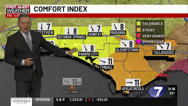
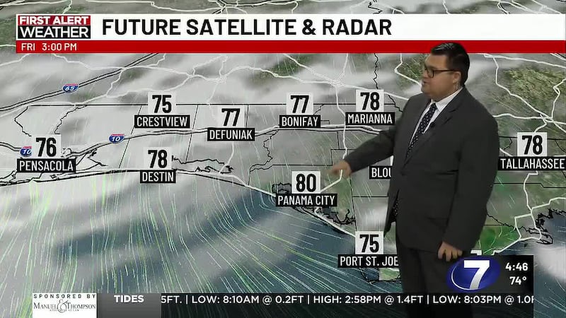
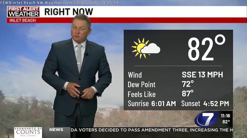
REST OF TODAY: We saw a few showers wrapping up along the front in our Eastern Counties around sunrise or just before, others may have seen a little more fog to start the day. Skies turn mostly sunny for rest of the day and while temperatures still warm up to near 80°, it’ll start feeling less humid as a light northwest wind gradually draws down humidity.
TONIGHT: We should remain fairly pleasant into the evening with less humid mid 70s for dinner plans. But the later you stay out the more likelier you are to need a jacket as we’ll cool off into the 60s after 8pm. Lows tonight reach down into the seasonal low 50s inland to upper 50s on the coast for a cool start to the weekend!
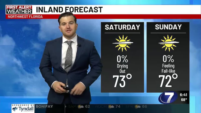
THIS WEEKEND: Mostly sunny skies and cooler feels arrive on a light northerly wind. Temperatures get going in the cool mid 50s Saturday morning and only warm into the seasonal mid 70s. Sunday’s morning temperatures reach the upper 40s inland to low 50s on the coast for a chilly start and only warming to the low 70s in the afternoon!
NEXT WEEK: We’ll keep the fall feels and mostly sunny skies going into the early week with mornings returning to the mid to upper 40s inland and near 50° on the coast Monday and Tuesday. Highs reach the mid 70s. Clouds go on the increase through the mid to late week, but our fall feels remain. Mornings may come up a few more degrees with fewer reaching the 40s by Thursday inland and lows on the coast coming up into the low to mid 50s. Afternoons remain quite pleasant with highs near 76/77° most days.
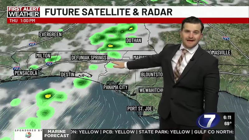
A bigger cold frontal system heads our way late next week. A few spotty showers may pick up into the late week ahead of this front. But as of right now we are not tracking any storms, just a chillier mid-November weekend!
To stay up to date on all the latest news as it develops, follow WJHG on Facebook, Instagram and X (Twitter).
Have a news tip or see an error that needs correction? Email news@wjhg.com. Please include the article’s headline in your message.
Keep up with all the biggest headlines on the WJHG News app, and check out what’s happening outside using the WJHG Weather app.
Copyright 2026 WJHG. All rights reserved.