Classic summery days into the midweek
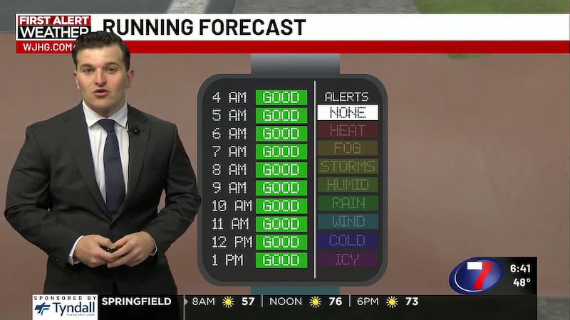
PANAMA CITY, Fla. (WJHG/WECP) - Good Tuesday afternoon everyone! Well, for what seems like the first time in weeks...we have no heat advisories for our area! Having said that, we’ll still find typical summery warmth and humidity.
REST OF TODAY: We caught a few morning storms along the Forgotten Coast this morning. The midday will be quiet as we shift into daytime heating and sea breeze scattered and brief showers and thunderstorms for mainly inland areas into the mid to late afternoon. The coast will be mostly to partly sunny into the afternoon with clouds increasing from any inland storms that develop. Highs reach the upper 80s near 90° on the coast to the low 90s inland with heat indices only reaching the low triple digits during afternoon. Winds will be light out of the southwest at 5-10mph.
TONIGHT: Partly to mostly clear skies with scattered showers and thunderstorms returning to the coast in the morning. They’ll be a bit more likely for Bay, Gulf and Franklin counties around sunrise and into the morning commute. Lows tonight in the low 70s inland to mid 70s on the coast.
WEDNESDAY: Expect an active early morning on the coast from PCB to St. George Island and locations in between with scattered showers and thunderstorms developing out of the warm waters of the Gulf before moving onshore until about 9 or 10am. Otherwise, a mostly sunny start elsewhere. The coast turns partly to mostly sunny into the midday with inland areas picking up on hit or miss storms into the afternoon. Highs return to the upper 80s near 90 on the coast to the low 90s inland with heat indices only in the low triple digits. Winds remain south southwesterly at 5-10mph.
LATE WEEK: We’ll fall into a hyper summery mode of seeing a low-end chance for a small and brief rain on the coast in the morning to hit or miss showers or thunderstorms for an hour into the midday and afternoon with otherwise partly cloudy skies for a majority of the day. Highs come down to the upper 80s for most.
THIS WEEKEND: The more active finish to the work week winds back down to a more stray chance for rain. Most of your days will be mostly to partly sunny with hot and humid highs near 90 on the coast to the low 90s inland with heat indices approaching advisory levels in the afternoon near 105-108°.
To stay up to date on all the latest news as it develops, follow WJHG on Facebook, Instagram and X (Twitter).
Have a news tip or see an error that needs correction? Email news@wjhg.com. Please include the article’s headline in your message.
Keep up with all the biggest headlines on the WJHG News app, and check out what’s happening outside using the WJHG Weather app.
Copyright 2026 WJHG. All rights reserved.