FIRST ALERT| Scattered showers and possible thunderstorms return later this afternoon
PANAMA CITY, Fla. (WJHG/WECP) -
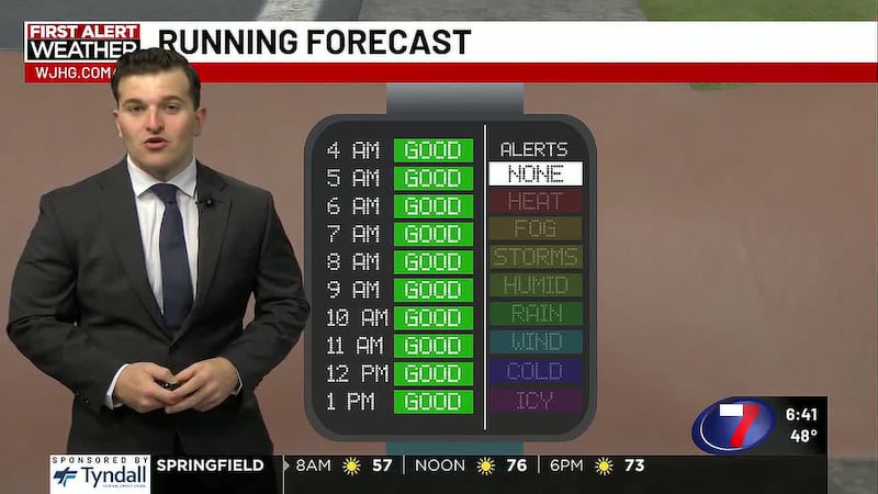
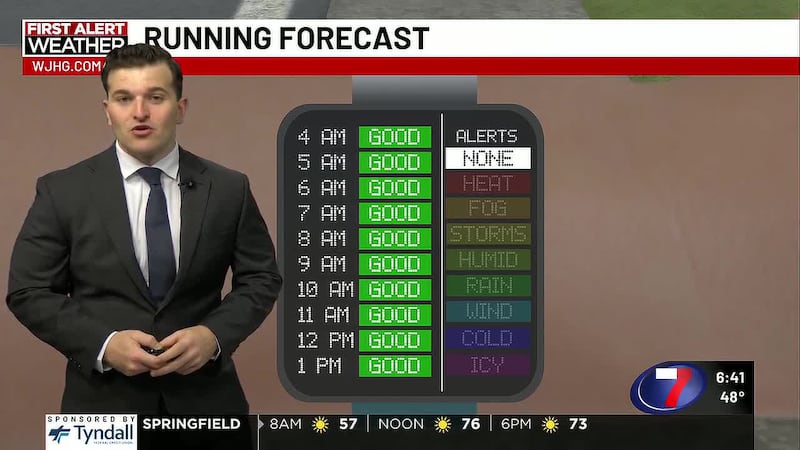
TODAY: Showers and thunderstorms persist the rest of the morning hours, before we catch a bit of a break in the early hours of the afternoon. Just before the evening hours, scattered showers and thunderstorms return, with highs climbing into the mid to upper 80s. Skies for the most part will be mostly cloudy overhead, with sustained southeasterly winds around 5 mph.
TONIGHT: Cloudy skies linger into tonight, with possible showers into the evening. We’ll see temperatures descend into the low 70s, with an east wind around 5 mph.
THIS WEEKEND: Cloudy skies linger overhead Saturday and Sunday with possible showers into the afternoon. Each morning, we will kick off the day with showers and possible thunderstorms along the coastline, followed by a scattered shower pattern each afternoon. Afternoon highs reach the low to mid 80s across the Panhandle.
LOOKING AHEAD: Enjoy the cooler weather while it lasts. High pressure gradually builds back into the Panhandle, prompting afternoon highs to gradually climb back into the upper 90s.
To stay up to date on all the latest news as it develops, follow WJHG on Facebook, Instagram and X (Twitter).
Have a news tip or see an error that needs correction? Email news@wjhg.com. Please include the article’s headline in your message.
Keep up with all the biggest headlines on the WJHG News app, and check out what’s happening outside using the WJHG Weather app.
Copyright 2026 WJHG. All rights reserved.