FIRST ALERT | Above average temperatures throughout the week
PANAMA CITY, Fla. (WJHG/WECP) - A stunning Sunday with a little bit of a breeze out of the north keeping things from feeling too warm. We’ll continue to have a pretty gusty Sunday evening with these winds lasting until Tuesday afternoon.
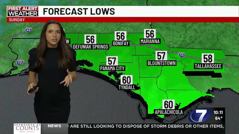
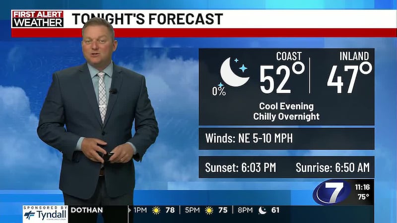
TONIGHT: Temperatures will fall through the 60s overnight as we get ready for the work and school week ahead. Full moon tonight with clear skies make for the perfect view. Lows overnight will reach the upper 50s by the coast, mid 50s inland.
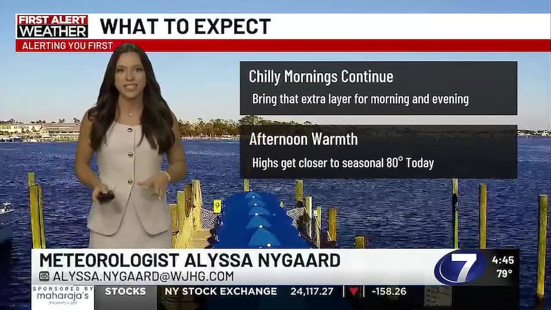
TOMORROW: For the start of our work week, we’ll be cool to start, but quickly warming to near 80°, with a few clouds overhead, indicating some humidity. The breeze out of the north will weaken by Monday evening.
More humidity and low winds reduce that fire risk.
Small Craft Advisory expires Tuesday midday.
WEEK AHEAD: The sunny and clear skies we’ve had will have a few wisps and puffs of clouds added to our skies throughout the week, but that will only keep our nights a few degrees warmer later in the week. The coolest night will be into Tuesday morning with lows starting in the low 50s. For the next few days, our highs will be teetering that 80° line and by Friday, everyone will be in the 80s. Over the weekend, we’re tracking some rain, mainly on Sunday.
HALLOWEEN: Halloween will be a warm and humid one, but the night will still sufficiently able to cool to the 60s. For the trick-or-treaters: keep a light layer handy.
To stay up to date on all the latest news as it develops, follow WJHG on Facebook, Instagram and X (Twitter).
Have a news tip or see an error that needs correction? Email news@wjhg.com. Please include the article’s headline in your message.
Keep up with all the biggest headlines on the WJHG News app, and check out what’s happening outside using the WJHG Weather app.
Copyright 2026 WJHG. All rights reserved.