Monday Evening Forecast + Tropics Update
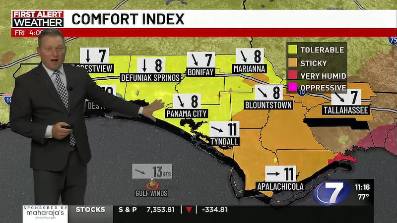
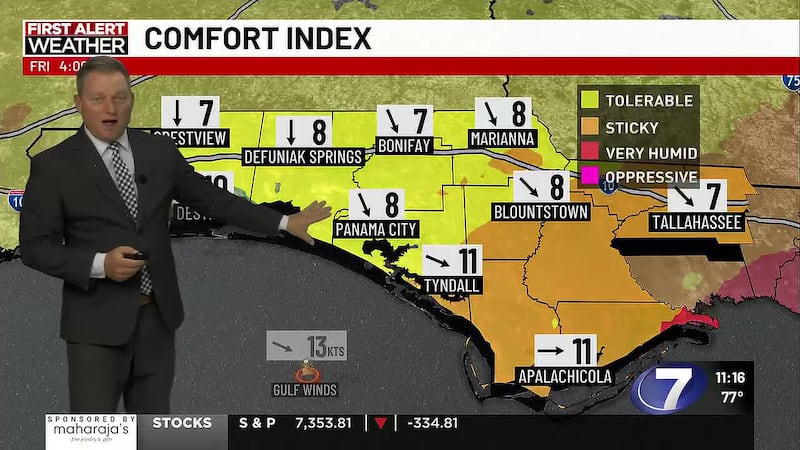
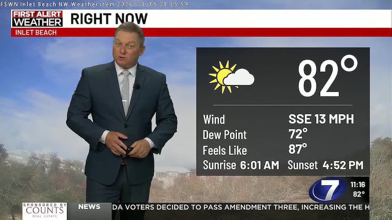
PANAMA CITY, Fla. (WJHG/WECP) - It was a sunny, hot, & pretty humid day over NWFL with highs near 90.
Tonight: It will be mostly clear and quiet tonight with lows in the 70s.
Tuesday: Expect mostly sunny skies with only a slight chance of a little rain along the seabreeze. Highs will reach near 90 w/feels like temps 97-100.
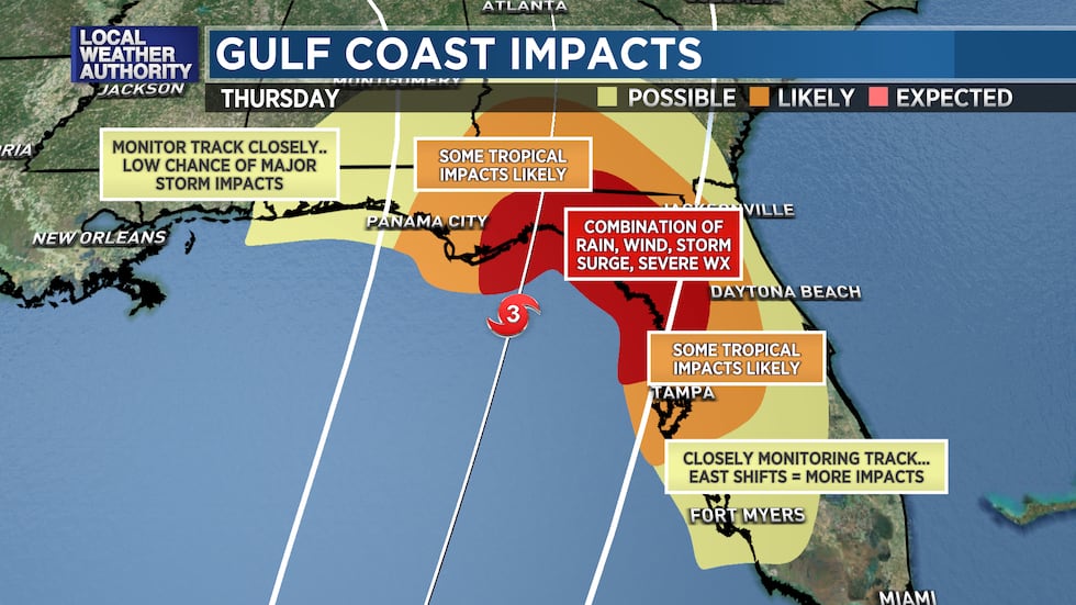
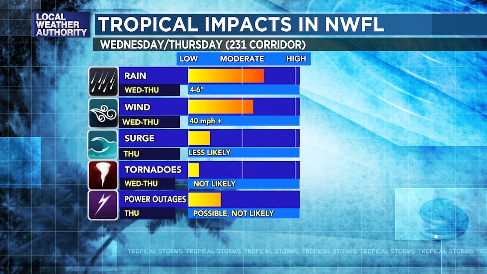
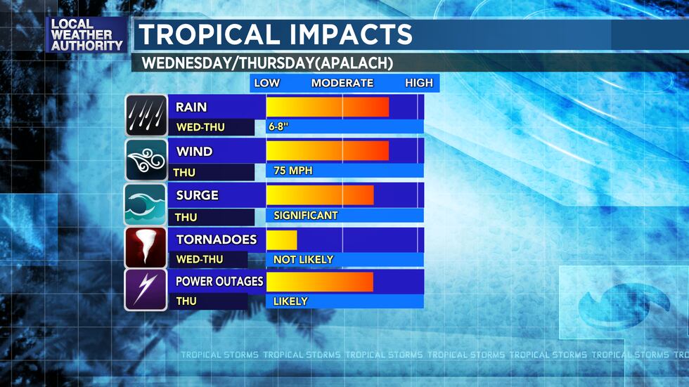
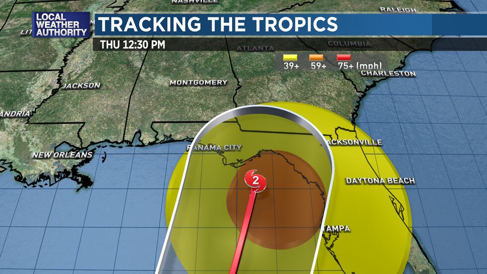
Wednesday/Thursday: PTC9/Helene will be moving through the Gulf of Mexico Wednesday and make landfall on Thursday over the Forgotten Coast/Big Bend of Florida. It will be possibly a major hurricane at landfall so we need to watch it carefully. The NHC cone right now stretches from Destin to Tampa. The biggest impacts are generally near the center and east. Keep in mind that additional track shifts east and west are possible and that will either increase or decrease our threats. We are recommending now that ALL OF NWFL should PREPARE for the possibility of a major hurricane impacting the area on Thursday. See what you need to prepare at FLORIDADISASTER.ORG.
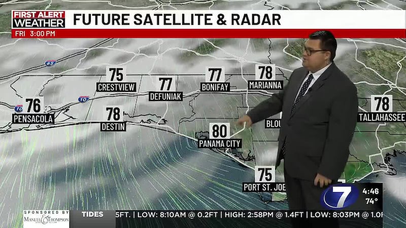
Friday: Conditions will improve with drier air and sunshine returning with highs in the 80s.
Get all the details on the forecast in the WJHG.com Weather Webcast.
Copyright 2024 WJHG. All rights reserved.