Passing storms arrive over the weekend
PANAMA CITY, Fla. (WJHG/WECP) - Good Friday afternoon everyone!
We’re seeing another summery beauty for today that only comes with a lucky-weather-lotto shot at a stray shower late in the day or early evening. But those rain chances rise into the weekend as we continue to monitor a low in the Gulf for passing storms and possible tropical development.
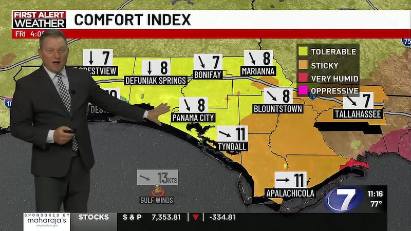
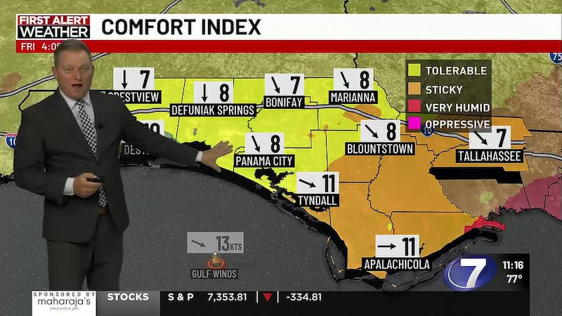
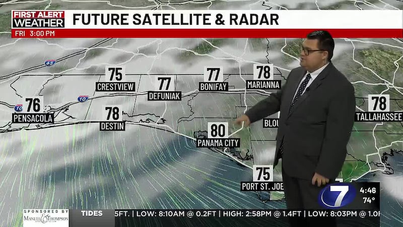
REST OF TODAY: The ridge slides out west heading into Friday and that will open the door for a few afternoon stray and brief showers or an isolated storm across NWFL. They’ll start popping up widely scattered by mid-afternoon and could linger into the evening. While they’re few and far between, it could be a decent brief downpour if you catch it. Otherwise, mostly to partly sunny skies still give way to highs in the low 90s and heat indices around 105°.
TONIGHT: Any stray showers fade into sunset with skies turning partly to mostly clear. Warm and humid lows return to the low 70s inland to mid 70s on the coast in a light northwesterly wind at 5-10mph.
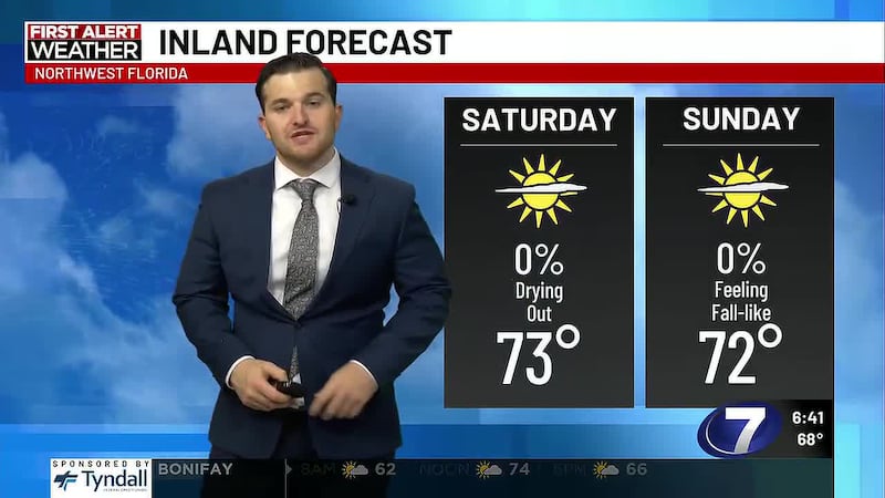
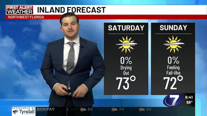
THIS WEEKEND: An area of low pressure drifting through the Eastern and Northeastern Gulf will help develop passing storms throughout both Saturday and Sunday. While it’s not an all day rain for Saturday, we’ll expect most of NWFL to deal with a passing storm for an hour or two during the midday or afternoon with otherwise mostly sunny skies in the morning turning mostly cloudy in the afternoon. The low drifts into the Northeastern Gulf on Sunday allowing for a more periodic passing shower and thunderstorm throughout the day. Rain totals may reach 1-2″ for most of the Panhandle, totals for some, especially along the Forgotten Coast may reach 2-4″.
TROPICAL UPDATE: Regarding the upper level low developing a surface low this weekend and lingering in the Northeastern Gulf into early next week. Neither the American or European models develop a strong tropical low while hi-res cam models do develop a depression or weak tropical storm. The National Hurricane Center still has only a 20% chance for tropical development. Thunderstorms develop in the Eastern Gulf off the Florida Peninsula coast today. If they can organize into a surface low, those development chances may start to rise over the next couple days. Regardless of development, passing storms remain the forecast for NWFL. Some storms may be gusty.
A tropical wave is moving off the coast of Africa near the Cape Verde Islands. It’s fairly early in the year to see tropical waves in this area develop and we do have quite a bit of high shear and Saharan dust over this batch of storms which will work against development. The NHC only has a 10% chance for development over the next 2 to 7 days.
To stay up to date on all the latest news as it develops, follow WJHG on Facebook, Instagram and X (Twitter).
Have a news tip or see an error that needs correction? Email news@wjhg.com. Please include the article’s headline in your message.
Keep up with all the biggest headlines on the WJHG News app, and check out what’s happening outside using the WJHG Weather app.
Copyright 2026 WJHG. All rights reserved.