FIRST ALERT | Above average highs heading into Halloween Weekend
PANAMA CITY, Fla. (WJHG/WECP) - An absolutely stunning day outside, and that will continue to for the next week. High level wispy clouds overhead until the weekend
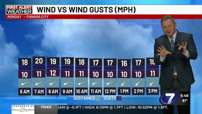
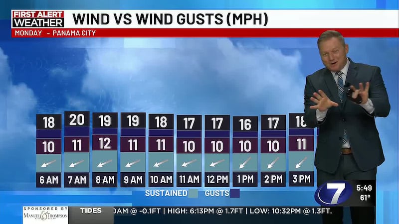
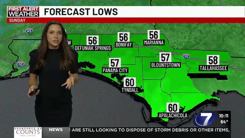
TONIGHT: Tonight, the cloud cover will increase giving us partly cloudy skies, somewhat decent conditions to see the bright Hunter Moon tonight. Temperatures will sink through the 60s over the course of the night, inland areas reaching the 50s before midnight, the coastline only seeing the 50s just before dawn. Winds will continue to blow from the north, keeping humidity low, but when high pressure moves east, we’ll get east winds, then south winds which will bring that moist gulf air over us, increasing humidity.
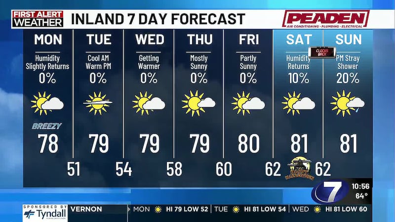
TOMORROW: Highs will reach the low 80s across the FL Panhandle, several degrees above average. No chance for rain and low humidity makes for the perfect excuse to head outdoors. Sunset will be around 6p.m. - only a few more days before the sun sets an hour earlier from Daylight Saving Time ending Sunday at 1 AM.
WEEK AHEAD: Throughout the week ahead, mostly sunny skies, increased cloud cover, and highs reaching the 80s. This means Halloween will be warmer than average. First chance for rain is Saturday afternoon inland; best chance is Sunday afternoon.
To stay up to date on all the latest news as it develops, follow WJHG on Facebook, Instagram and X (Twitter).
Have a news tip or see an error that needs correction? Email news@wjhg.com. Please include the article’s headline in your message.
Keep up with all the biggest headlines on the WJHG News app, and check out what’s happening outside using the WJHG Weather app.
Copyright 2026 WJHG. All rights reserved.