More sunshine ahead & a bit more afternoon warmth
PANAMA CITY, Fla. (WJHG/WECP) - Good Monday morning everyone! We’re off to another similar week to what we saw last week in NWFL, however, it’ll get a touch milder.
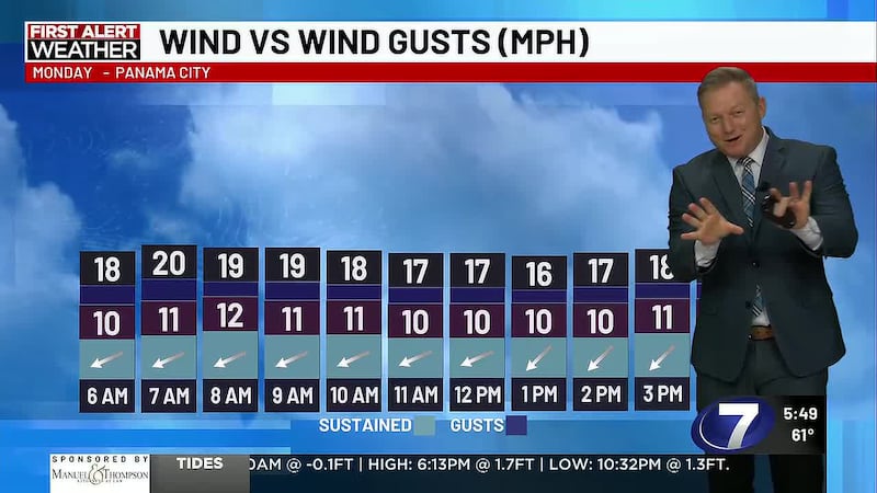
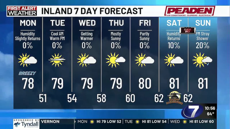
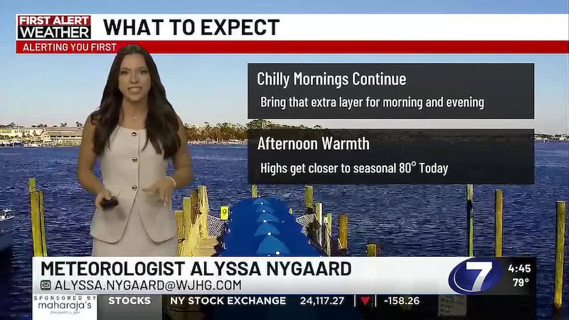
TODAY: Mainly sunny skies with a little high thin cirrus clouds at times today. It won’t be enough to block out the sunshine but may produce a little filtered sun at times. We’ll warm up pleasantly to the upper 70s near 80 degrees this afternoon for a very seasonal setup. Winds may still be on the breezy side at times with gusts up to 20-25mph and sustained winds of 10-15mph out of the northeast.
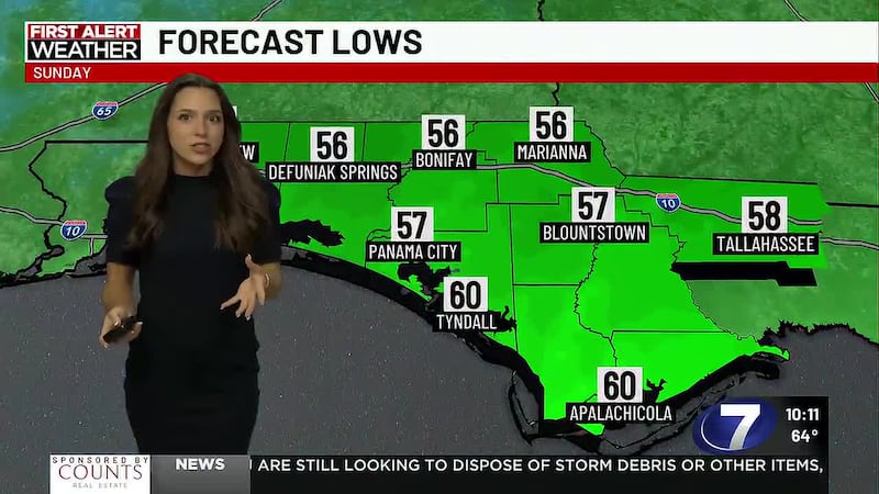
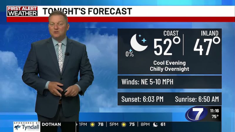
TONIGHT: Mainly clear skies and another good night to get a view of the (slightly less than full) Full Hunter’s Moon. It’ll rise in our skies this evening just after sunset which is around 6pm CDT. Expect pleasant feels this evening but turning cooler the later you go into the night. Overnight lows reach the mid 50s inland to upper 50s near 60° on the coast.
MIDWEEK: More sunshine with high thin cirrus clouds passing through at times, and again, it may lead to a little filtered sunshine but not thick enough to give an overcast feel. While early mornings will still be cool, you’ll be able to shed any sweaters or jackets by the late morning and enjoy warmer afternoons this week. Highs reach the low 80s with light northeast winds of 5-10mph. Average highs are in the upper 70s and we may get as warm as 83° some afternoons.
LATE WEEK & WEEKEND: The upper level clouds thicken up a bit to a mostly sunny to partly cloudy sky, but we remain rain free through Saturday. A spotty shower may return to the forecast by the end of the weekend for Sunday, although at 7 days out, the spotty shower chance is low around 20% right now. Stay tuned.
HALLOWEEN FORECAST: Partly cloudy skies with mild feels as we’ll only gradually fall through the low 70s at sunset to upper 60s into the late evening for a comfortable night of trick-or-treating. I think most get away without needing any warm layers!
To stay up to date on all the latest news as it develops, follow WJHG on Facebook, Instagram and X (Twitter).
Have a news tip or see an error that needs correction? Email news@wjhg.com. Please include the article’s headline in your message.
Keep up with all the biggest headlines on the WJHG News app, and check out what’s happening outside using the WJHG Weather app.
Copyright 2026 WJHG. All rights reserved.